► 110-12-01
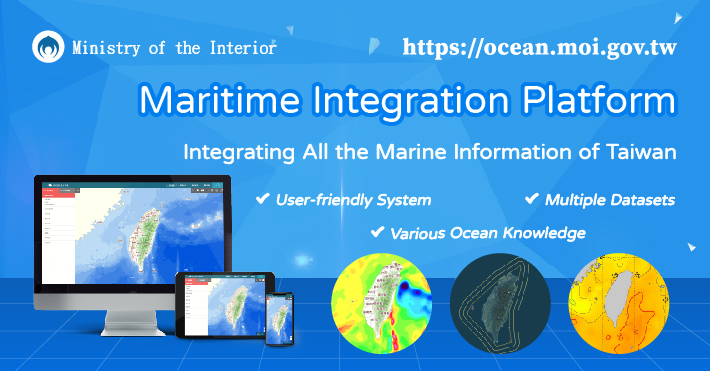
Maritime Integration Platform - Integrating All the Marine Information of Taiwan
In order to promote marine geospatial information, the Ministry of the Interior(MOI) integrated marine data from related ministries and established the Maritime Integration Platform (https://ocean.moi.gov.tw). Over 65 types of marine data were collected and classified into 10 categories: basic information, marine geology and geophysics, marine physics, marine chemistry, maritime transportation, fishery resources and so on.
In addition, the Maritime Integration Platform provides WebGIS functions comprehensively, including base maps switching, measurement, drawing tools and maps exporting. Also, it supports users to overlay WMS layers and import external geospatial data.
All kinds of marine data and services you need are provided in the Maritime Integration Platform. Welcome to visit the website, and explore more information about marine resources.